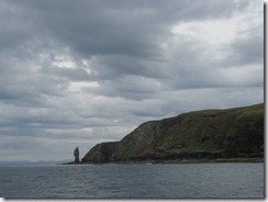
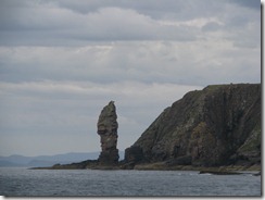
Wednesday 29 August 2012

Wednesday 29 August 2012 – Plockton to Arisaig

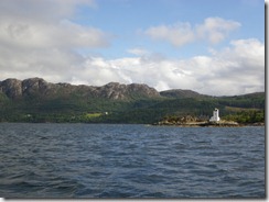
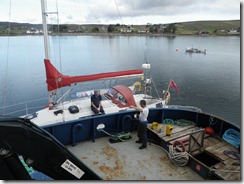
Early start needed to get through Kyle Akin and Kyle Rhea with the tide.  We left at 8 which is early by the standards of this trip.  After yesterday's unstable weather everything seemed a bit more settled.  Normally we would complain about having to motor for much of the day, but it seemed so much preferable to the weather of the previous 2 days that we did not complain.

Tomorrow we do the washing and then head off towards James and Abi’s wedding.

Follow the track on Google Maps.
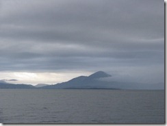
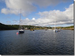
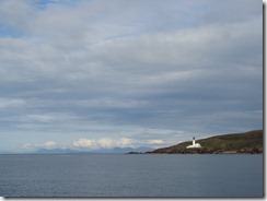
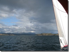
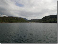
IMG_6818
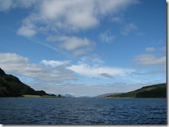
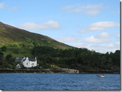
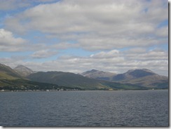
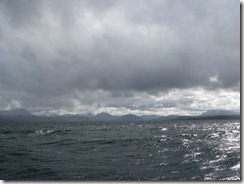
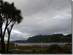
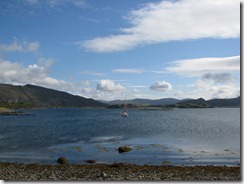
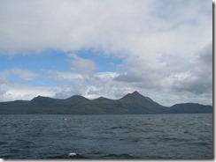
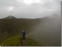
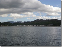
Skye, Scalpay and Pabbay + a lot of cloud
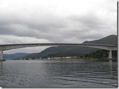
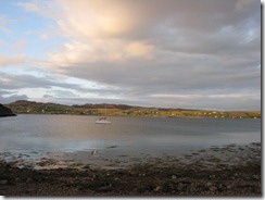
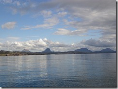
IMG_6824
Skye bridge
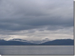
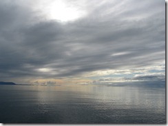
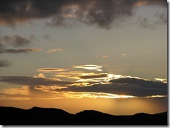
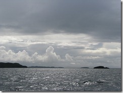
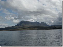
IMG_6826
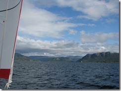
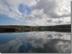
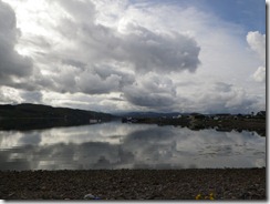
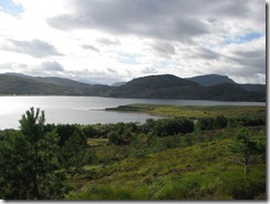
Cloud lifting over Skye and Scalpay

Tuesday 28 August 2012

Tuesday 28 August 2012 – Plockton

Wet and windy all day. Stayed on the boat. Did a few odd jobs.

The weather had quite an unstable feel to it.  The mooring area was quite sheltered but we would get big gusts up to 30 knots and then periods of calm.  Sometimes heavy rain, sometimes a bit of sun.  It did not seem worth the effort of getting fully dressed in waterproofs just for a short walk ashore.
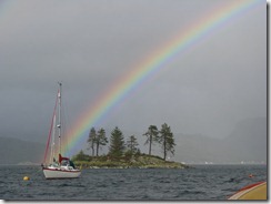
IMG_6814
It would have been nice to have a photo of our own boat at the end of a rainbow,
but I did not fancy going out in the dinghy

Monday 27 August 2012

Monday 27 August 2012 – Plockton

I had hoped to wake to the sound of lashing rain and howling wind, but it seemed to just threaten, but not really arrive.

Did some reading, went ashore and took the short walk up “the Brae”.

No photos

Sunday 26 August 2012

Sunday 26 August 2012 – Plockton and Lochcarron

The weather forecast for tomorrow and possibly Tuesday is pretty bad with strong wind.  There is nowhere with really good shelter between here and Arisiag so we decided to go for a day trip up Inner Loch Carron and then stay at Plockton until the weather improves.

The village beside Inner Loch Carron is called Lochcarron. A dinghy race was in progress as we approached – it seemed to go on for ages in the light wind as we came up the loch. At last the OOD shortened course so it was all finished before we arrived. We picked up the mooring beside the hotel, did some inessential shopping and bought some diesel fuel.  This place is not sheltered enough for the forecast wind, so we returned to Plockton.  On the way back we heard a Mayday Relay about the canoe accident in Gairloch. The coastguard said they had taken 4 people ashore and were looking for one more.  We thought the incident sounded quite serious, however we did not realise at the time the awful scale of the tragedy in which 4 people died.  We had passed the scene of the accident when entering Gairloch just 2 days ago.

Follow the track on Google Maps.

IMGP2888
Moorings at Plockton
IMG_6809
Inner Loch Carron becomes visible through the narrows
IMG_6811
The old ferry slipway.
We chartered a boat here a long time ago
IMGP2893
The village of Lochcarron beside Inner Loch Carron
IMGP2896
No wind.  We will have to motor back

Saturday 25 August 2012

Saturday 25 August 2012 – Badachro to Plockton

Did not realise how sheltered Badachro was until we came out.  Hoisted sail with one reef. After leaving Loch Gairloch we soon came to the Rona Range which had submarine exercises in progress.  As we had to keep within 1 mile of the shore and the wind was right behind us we took the main down and ran under genoa alone As the wind was F6 and sometimes F5 we made good progress.  After passing the Crowlin Islands we turned into Loch Carron.  We were now on a reach but it still did not seem like a good idea to put the mainsail up again.  We found the moorings at Plockton to be more numerous and more sheltered than I had expected.  Watched the dinghy race.

Going ashore we found that the village was planned and built as a fishing village to house people removed from other land during the clearances.  However they now all seem to owned by the well-heeled and there are several hotels and B&Bs.

Follow the track on Google Maps.

IMGP2869
Moorings at Badachro just before our departure
IMG_6799
Looking into Loch Torridon with Torridon mountains
IMG_6807
Approaching Plockton
IMGP2875
Nearer to Plockton
IMGP2879
Moorings from the village

Friday 24 August 2012

Friday 24 August 2012 – Isle Ewe to Badachro

Warm sunny morning with no wind at all, so we decided to visit Aultbea to do some shopping.  The bay was more sheltered than expected so we anchored and visited the small shop, which was excellent.  We then went alongside the tug (“David Andrews”) which was tied up to the quay so we could fill with water.  The man on the tug was doing some maintenance jobs and was very chatty and interesting, so our coffee time continued almost until lunch.  We eventually left and sailed very slowly until we had rounded Rubha Reidh, then ran out of wind and motored to Badachro.  Rounding Rubha Reidh we had our last view of the ancient Northern mountains and could now clearly see the modern upstarts on Skye.  Pam caught some mackerel on the way, either by fishing in the right place, improving the fishing gear or luck, so we had mackerel for supper (after a brief visit to the pub) and saved some for tomorrow.

Follow the track on Google Maps
.
IMGP2849
No wind at Aultbea
IMGP2852
No wind whilst shopping at Aultbea
IMGP2855
Blethering
IMG_6790
Farewell to the ancient Northern mountains
IMG_6791
No wind
IMGP2868
Moorings at Badachro.

Thursday 23 August 2012

Thursday 23 August 2012 – Isle Martin to Isle Ewe

First a brief exploration of Isle Martin.  It is uninhabited and used as a bird reserve.  We landed at a fine new pontoon.  Several houses were properly maintained but nobody was at home and nearly all the birds were away on holiday.

The wind was about West, so we crossed the narrows to leave Loch Kanaird and enter Loch Broom and had a long beat to Loch Ewe, with 2 reefs in.  On the way we passed Loch Gruinard which contains Gruinard Island, which is the one which was deliberately contaminated with anthrax as part of a stupid experiment years ago.  It has supposedly since been cleaned up but I don’t plan to land there.

Follow the track on Google Maps.

IMGP2807
Isle Martin
IMG_6773
Anchored off Isle Martin
IMG_6774
View from half way up the island
IMG_6780
Ben Mor Coigach after the cloud had cleared
IMGP2832
Passing some of the Summer Isles
IMG_6783
Approaching Isle Ewe
IMG_6784
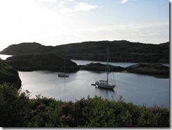
Anchorage at Isle Ewe
IMG_6787
Sunset from Isle Ewe

Wednesday 22 August 2012

Wednesday 22 August 2012 – Loch Roe to Isle Martin

This took us around another headland, Rubha Coigach.  We had already visited 2 of the Summer Isles, so we passed E of Tanera Mor, then through Horse Sound and anchored behind Isle Martin trying to get well into the shelter whilst avoiding the cables shown on the chart.

Follow the track on Google Maps.

IMG_6767
Just to show it has not been sunny all the time

22 Aug - Isle Martin

You may not know where Isle Martin is, but it must be an important place as it has 3G from 3, so I have uploaded 13,14,15 Aug and am now caught out because I have not prepared 16 - 22 Aug!  Will get on with it now....

...later: Everything till 20 Aug is now here, mostly just pics with no words.  Nobody reads the words anyway.  Will do 21 and 22 Aug soon I hope.  In case you had not bothered to look it up Isle Martin is just N of Loch Broom, which is where Ullapool is.

Tuesday 21 August 2012

Tuesday 21 August 2012 – Loch Nedd to Loch Roe

Loch Roe was very different from the cosiness of Loch Nedd.  We seemed to be hemmed in by heather-topped cliffs, with a rather deep anchorage.  I wondered if I ought to put the fenders out.  As we went for a brief trip ashore another boat arrived.  On the way back to our boat we were invited aboard for drinks. The boat was the Bowman 57 “Longbow of Argyll”, used for skippered charter until this year.  A beautifully maintained comfortable boat, but rather big and the 2.3m draught must sometimes limit options for anchoring.

Follow the track on Google Maps.

IMGP2777
Leaving Loch Nedd, Quinag behind
IMGP2785
Proper view of Quinag after we had left the loch
IMGP2787
Ancient sandstone mountains
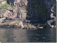
IMG_6747
Old Man of Stoer
IMG_6757
Can you spot the seals?
IMGP2797
Fenders out?
IMG_6763
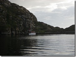
Anchored in Loch Roe

Monday 20 August 2012

Monday 20 August 2012 – Loch Nedd and Quinag

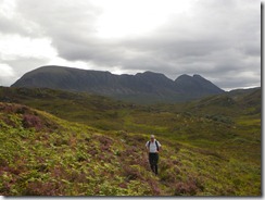
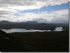
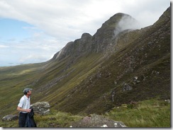
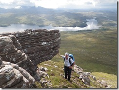
Long day up Quinag.

Follow the track of the walk.
IMGP2739
Anchorage in Loch Nedd from the head of the Loch
IMGP2740
IMGP2745
IMGP2750
IMGP2751
IMGP2753
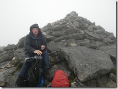
Enjoying lunch at the first summit
IMGP2754
IMGP2758
IMGP2759
IMGP2761
IMGP2772
Kylescu Bridge

Sunday 19 August 2012

Sunday 19 August 2012 – Lochinver to Loch Nedd


Follow the track on Google Maps.

IMGP2720
Lochinver
IMG_6730
Leaving Lochinver – Suilven behind
IMG_6739
Old Man of Stoer
IMG_6742
a bit closer